How do you think they were doing it before the GPS arrived ? Yes I know they used good old paper maps. By the way you can still do that.
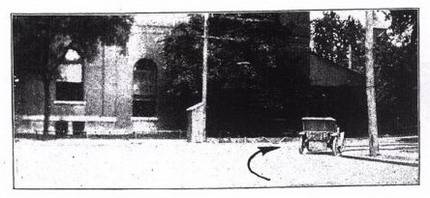
Back in 1907 some crazy visionary came up with the idea that it coudl be interesting to take photography of the actual street to guide the pioneer drivers around the country. Take a look at those 'photo auto maps' from 1907. Unfortunately, they attempt to destabilize the paper map monopoly was not very successful. But the idea was not lost for everyone, as Google maps now offer a quite similar service named Google Street View. Expect a lawsuit against Google street view pretty soon ;)

